06 September 2005
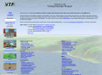

Terrain Visualization anf Flyby Animation
Contains software 3DEM that can convert many terrain data file to grey scale map
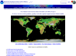
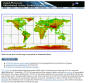
National Geophysical Data Center (NGDC)
NGDC contains DEM terrain data for the whole earth and allow people to download
26 August 2005
1
(6 marks)